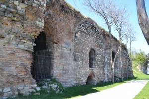
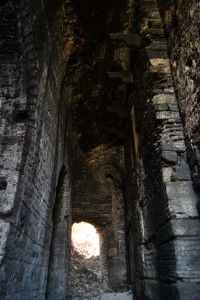
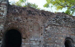
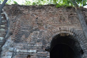
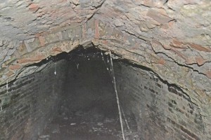
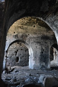
The substructure of the early 12th century church of this monastery is first visible as a high arch in the sea walls between the lighthouse and the point of Saray Burnu. The vaulting is massive and solid.
This must have been a substantial building and a good-sized monastery. It is very easy to get into as of 2014 but once the railway line is working again, I imagine that access will be as difficult as it used to be. At the moment, it’s an interesting place to explore. (41.011333,28.987502)
This area bristled with monasteries in the late Byzantine period and, in the absence of consistent records, it is difficult to establish which remains belong to which buildings to which contemporary texts referred. Philanthropes was a major step on the relic trail followed by pilgrims in the fourteenth century. Ignatius of Smolensk, visiting in 1389, noted the proximity of the Monastery of St Saviour to the ‘healing sands’ outside the sea wall (Majeska (1984) p96).
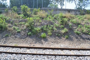
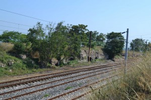
Across the railway tracks are the remains of more Byzantine structures.
Records are confused, but given the relative positioning of pilgrimage sites mentioned by Deacon Zosima, visiting Constantinople in 1420, it may be a monastery of St Cyprian. It seems to be as good a guess as any until the area gets a decent archaeological going-over.
In 1895, Clara Erskine Clement wrote, “On each side of the track, remnants of past glory are scattered – blocks of marble, bits of porphyry, half-buried arches…” The portable glories have gone but much of the brickwork is still here.
Mavis de Zulueta advances the argument that St Saviour Philanthropes stood at the current site of Incirli Köşk, a little west of the structures featured here. This place may have been a monumental gate to the Mangana region, built by Constantine Monomachus in the period between 1042 and 1055. The vaults may still have supported a church.

Categories: Uncategorized | No Comments »
