Archive for June 13th, 2016
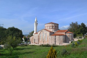
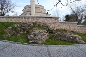
Down the hill from Aya Sofya and in the shadow of the restored Sarapdar Hasan Bey Camii are the fragmented remains of a funerary church in the shape of a tetraconch. It must have been a pretty building once but most now lies beneath recent construction.
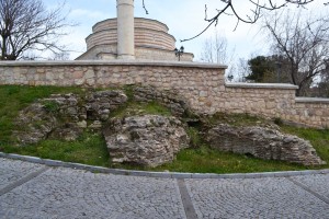
Aboveground remains of the Tetraconch
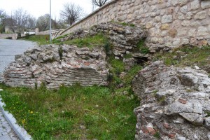
Some of the four-bay structure can be inferred from detail on the remaining brickwork
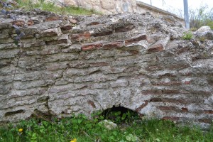
Top of arch, hinting at what may remain in case an excavation is ever authorised
This is a plan of the Tetraconch at Labraunda (Henry, 2016). It appears to be similar in plan to the one at Vize.
Henry, Olivier (2016) Tetraconch Bath, Labraunda. IFEA, Istanbul. Available online at: http://www.labraunda.org/Labraunda.org/Tetraconch_bath_eng.html Accessed 13th June 2016
Ötüken, Y. and R. Ousterhout (1989) Notes on the Monuments of Turkish Thrace. Anatolian Studies Vol 39 pp 121 – 149. British Institute at Ankara. Available online at: https://www.academia.edu/4462800/Notes_on_the_Monuments_of_Turkish_Thrace Accessed 7th Feb 2016

Posted June 13, 2016 Posted by Adam in Uncategorized
Vize in the province of Kırklareli is the centre of what was a flourishing district in the time of Justinian. (41.576271, 27.767357) It was already a busy place in Roman times with the foundations of the fortress on the top of the hill dating from about 75BC. There is a nice Roman theatre nearby. There is one large Byzantine church, preserved over the years by conversion into a mosque.
One ecclesiastical building that was not suited to mosque conversion was the tetraconch, now mostly covered by structures associated with the Sarapdar Hasan Bey Camii.
The area around Vize is dotted with cave buildings, natural shelters inhabited by humans for thousands of years and, in Byzantine times at least, shaed into churches and monasteries. Just north of Vize is Asmakayalar Monastery.

Posted June 13, 2016 Posted by Adam in Uncategorized
Kaynarca may be the world’s friendliest village. I was doing my usual thing of wandering around thinking I could find everything by myself when a local woman realised that I was getting nowhere. She led me to a woman who had just taken some delicious pastries out of the oven. They fed me and took advantage of my inability to speak to tell me about the major points of interest. They also alerted their husbands to give me çay and check any wrong turnings I might make.
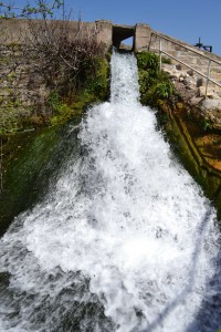
Kaynarca is not subject to water restrictions
Pure, fresh water gushes from the rocks above Kaynarca and, even in the driest of seasons, sparkles through the village, powering a flour mill on the way. With such an infallible source of water, the place has been settled for thousands of years. When I went to see the spring, the ground was shaking with enormous explosions. I found a soldier in a lookout post who explained to me that the area to the north was a military zone and the percussive earthquakes were tanks doing manoeuvres with live ammunition. I watched from his eyrie and gained a great fear of tanks and what they can do.
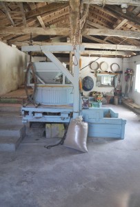
Water mill in Kaynarca
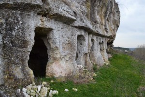
As with so many places in the area, natural caves in the rock have lent themselves to conversion to churches with minimal work. Kaynarca’s rock churches are in the south-west-facing cliff face above the flour mill (41.658008, 27.469674). Any walls that once closed the cave off from the elements are long gone, leaving only the parts that have been carved into the rock. The main nave lies along the line of the cliff with the apse at the north-eastern end. A chapel is dug further into the bedrock. A little to the north is one of the küp kayaları common in the area – a sort of storage jar with a round, central hole at the top. It resembles one of the large, earthenware jars used for storing water and keeping it cool in summer.
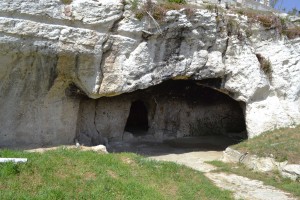
Main rock church
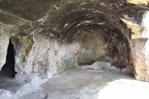
Northern end of main rock church
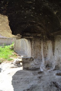
southern end of rock church
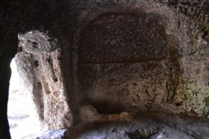
Chapel inside the main rock church
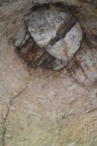
Top of the storage area beside the rock church
The Byzantines also constructed a castle and a decent fortified town. One freestanding church remains (41.657736, 27.471446) near the street that leads south from the main square. This was a typical small cross-in-square late Byzantine church with three apses and a low dome. The southern wall still stands along with the southernmost apse and the lower part of the central, larger, one. Parts of the church can be discerned in the surrounding stone buildings. A column lies beside a farm shed a short distance away. There are the remains of 19th century fresco decoration. The church has undergone the usual 20th century deterioration but not the malicious destruction that went on at Iznik and Enez during and after the War of Independence. The church has been cleaned up a little since the government photographer was there and it is no longer used for farm business.
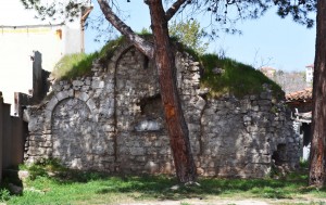
Intact wall on the south side
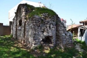
View from south-east showing surviving apse
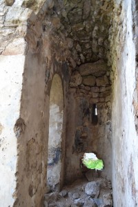
Apse interior
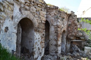
Interior of southern side
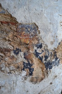
Remnants of fresco decoration
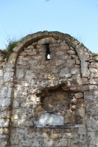
Arch in the south wall
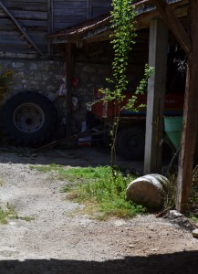
Column in a nearby yard
Kaynarca also has a lot of lovely houses from the Ottoman era. It is still the sort of place where people till the land with a donkey-powered single-bladed plough.
Kırklareli Kültür Varlıkları Envanteri. Kaynarca Kayalar Kilise. Available online at: http://www.kirklarelienvanteri.gov.tr/anitlar.php?id=156 Accessed 9th June 2016
Kırklareli Kültür Varlıkları Envanteri. Kaynarca Kilise Kalıntası. Available online at: http://www.kirklarelienvanteri.gov.tr/anitlar.php?id=176 Accessed 9th June 2016


